The Azusa PD Blog
Latest Storm Information For The City of Azusa - 12/11/2014 at 3 pm
A powerful cold front will track through southwest California tonight into early Friday. Along the front, there will be the potential for lines of strong thunderstorms capable of producing very intense rainfall, strong winds, and dangerous cloud to ground lightning.
Damaging wind gusts over 60 mph will be possible with these storms, including coastal and valley communities, capable of widespread power outages as well as downed trees and power lines. There will also be the potential for isolated waterspouts and small tornadoes, especially across coastal Ventura and Los Angeles counties. Rainfall rates could briefly reach one inch per hour with thunderstorm activity, which would produce significant urban roadway flooding, as well as dangerous rock and mud slide activity.
The duration of strong thunderstorms and any isolated severe weather damage associated with the cold front will likely be short lived, with a duration less than two hours. At this time, the timing of this severe weather threat will be this evening across the central coast, spreading into southern Santa Barbara and Ventura county after midnight, finally reaching the Los Angeles basin late tonight into early Friday morning. A cold and unstable air mass will follow the front, bringing a continued chance of thunderstorms into Friday evening, capable of producing brief heavy downpours, gusty winds and small hail. Residents of southwest California are urged to stay tuned to the latest National Weather Service updates and possible warnings as this strong pacific storm system brings a threat of isolated severe weather damage to southwest California.
Flash Flood Watch
A Flash Flood Watch has been issued for our area. A strong storm system with moderate to heavy rain will move across the area today and tonight, with showers and thunderstorms to follow on Friday. This will bring a possibility of dangerous flash flooding and mud and debris flows in the recent burn areas of Ventura and Los Angeles counties later tonight and Friday. Please visit AzusaPD.org/rain for safety tips, resources and sand bag information.
Hourly rainfall rates between one half and one inch are possible, which could produce dangerous flash flooding with damaging mud and debris flows. While all recent burn areas will be threatened, areas especially at risk include the Springs, Colby, Powerhouse and Williams burn areas.
Precautionary/Preparedness Actions
A Flash Flood Watch means that conditions may develop that lead to flash flooding. Flash flooding is a very dangerous situation. Residents in or below the recently burned areas are urged to take the steps necessary to protect their property. Persons in the watch area should remain alert and follow directions of emergency preparedness officials.
Wind Advisory
Strong and damaging southerly winds expected today through early Friday over the mountains and in the local area. The winds will be from the southeast to south, ranging from 20 to 35 mph with gusts to 50 mph. Isolated gusts up to 60 mph in the foothills. The winds will increase this evening, then peak in strength during the pre-dawn hours, before diminishing.
Drivers are urged to use caution, especially when operating high profile vehicles and vehicles towing trailers. Drivers should be prepared for sudden gusty cross winds.
Downed Power Lines or Trees / Traffic Signal Outages
Do not approach any downed power lines. Please call the Azusa Police Department at (626) 812-3200 to report any downed lines or trees or traffic signals that aren't working.
Phase 1 Mud/Debris Flow
The Los Angeles county Department of Public Works has issued a Phase 1 Mud/Debris Flow Alert in the burn areas Thursday through Friday night. A Phase 1 Mud/Debris Flow Alert means:
"Small isolated debris and mudflows possible at specific public infrastructure locations. Streets may be flooded or blocked by debris. Reports of debris on private property may be received by emergency response entities. A few structures may be endangered, in addition to those advised to be prepared to evacuate with any forecast of rain."
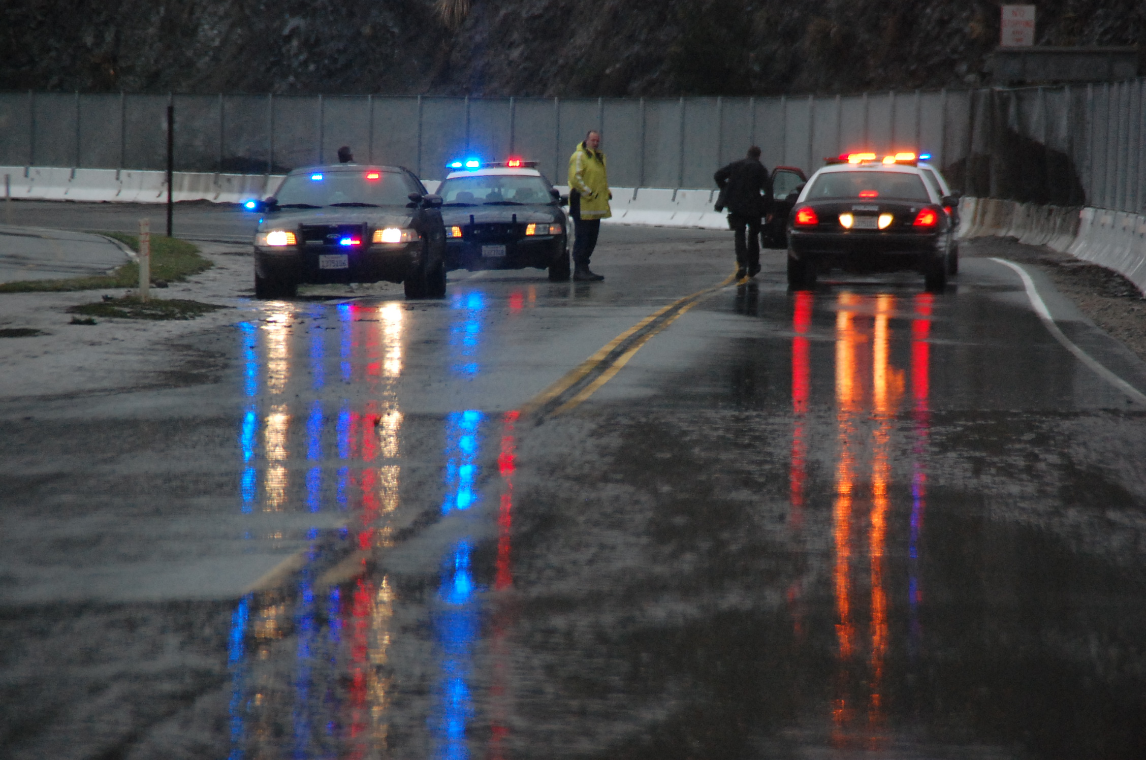
Road Closures
As of this report, the only road which will be closed is Glendora Mountain Road, starting today at 5 pm. Please keep this in mind if you are traveling up Highway 39 with the intent of going onto Glendora Mountain Road. For further information, call Cal Trans at (213) 897-3656, or dial 511.
Campgrounds
The United States Forestry Service will be closing all campgrounds. Further information can be obtained on their Facebook page found here.
Emergency Operations Center
The Azusa Police Department's Emergency Operation's Center will be staffed starting at approximately midnight, or sooner, if needed. Personnel will be on hand to monitor and address any developments or incidents related to this event.
Residents, business owners, students and visitors of Azusa are encouraged to send a text message with the word AZUSAPD to 888-777 to receive emergency notifications for this, and all critical incidents. In addition to this, follow us on Facebook,Twitter, Instagram, YouTube and this website. Please follow the hashtag #ColbyFire for localized weather related news and information, and #LARain for general weather related news in Los Angeles county.
Voluntary Evacuations
A voluntary evacuation order will go into effect tonight at 10 pm, for residents in the effected areas which have the potential for debris flow. This order will be in effect until Friday, at 10 am. Additional police personnel will be in the effected area during this time for safety and security purposes.
About the author


"Professional Service To A Proud Community"
Azusa Police Department | 725 N. Alameda Avenue | Azusa, CA 91702
Terms of Service | Privacy Policy | Social Media Policy | Site Map